
From Image to CAD in Seconds
See how EZBounds streamlines your workflow through our intelligent extraction pipeline.
01
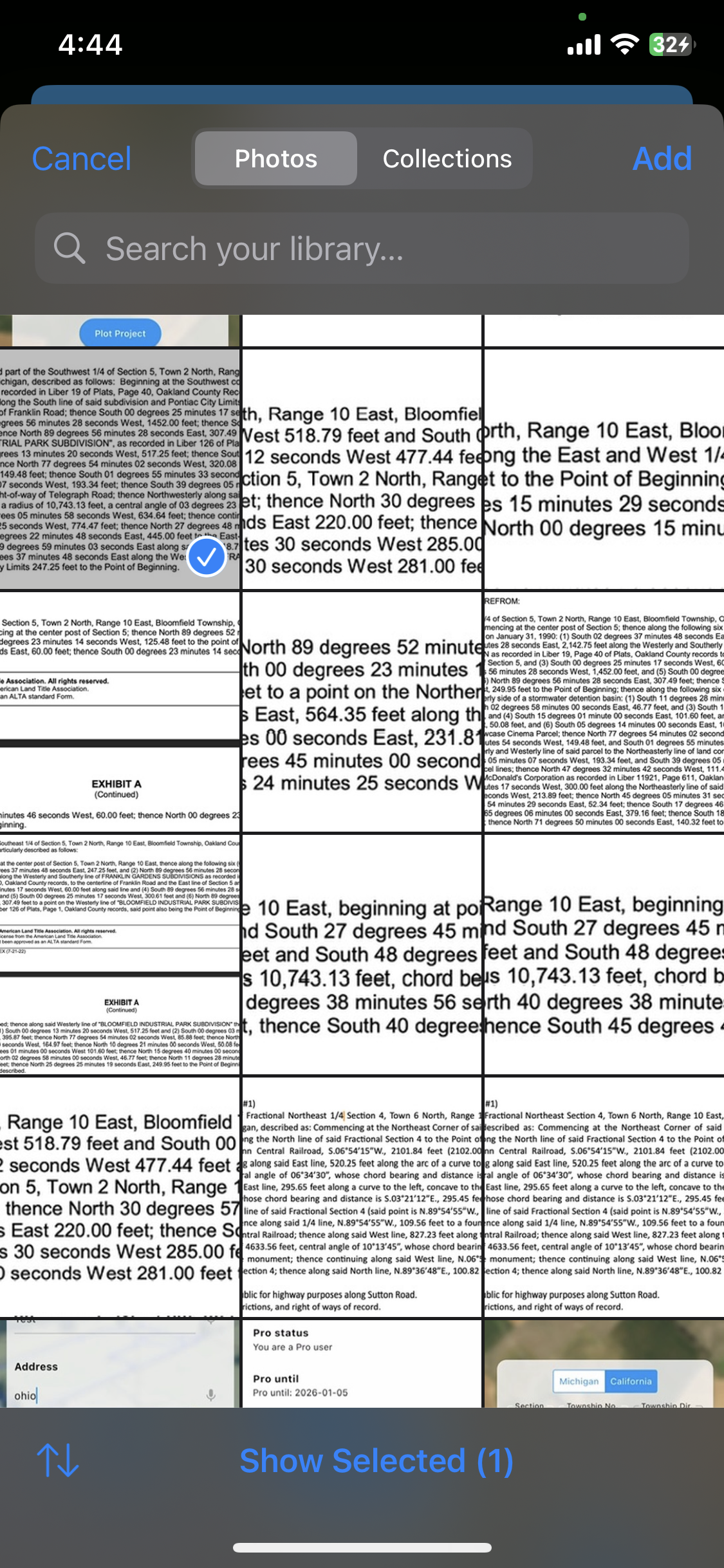
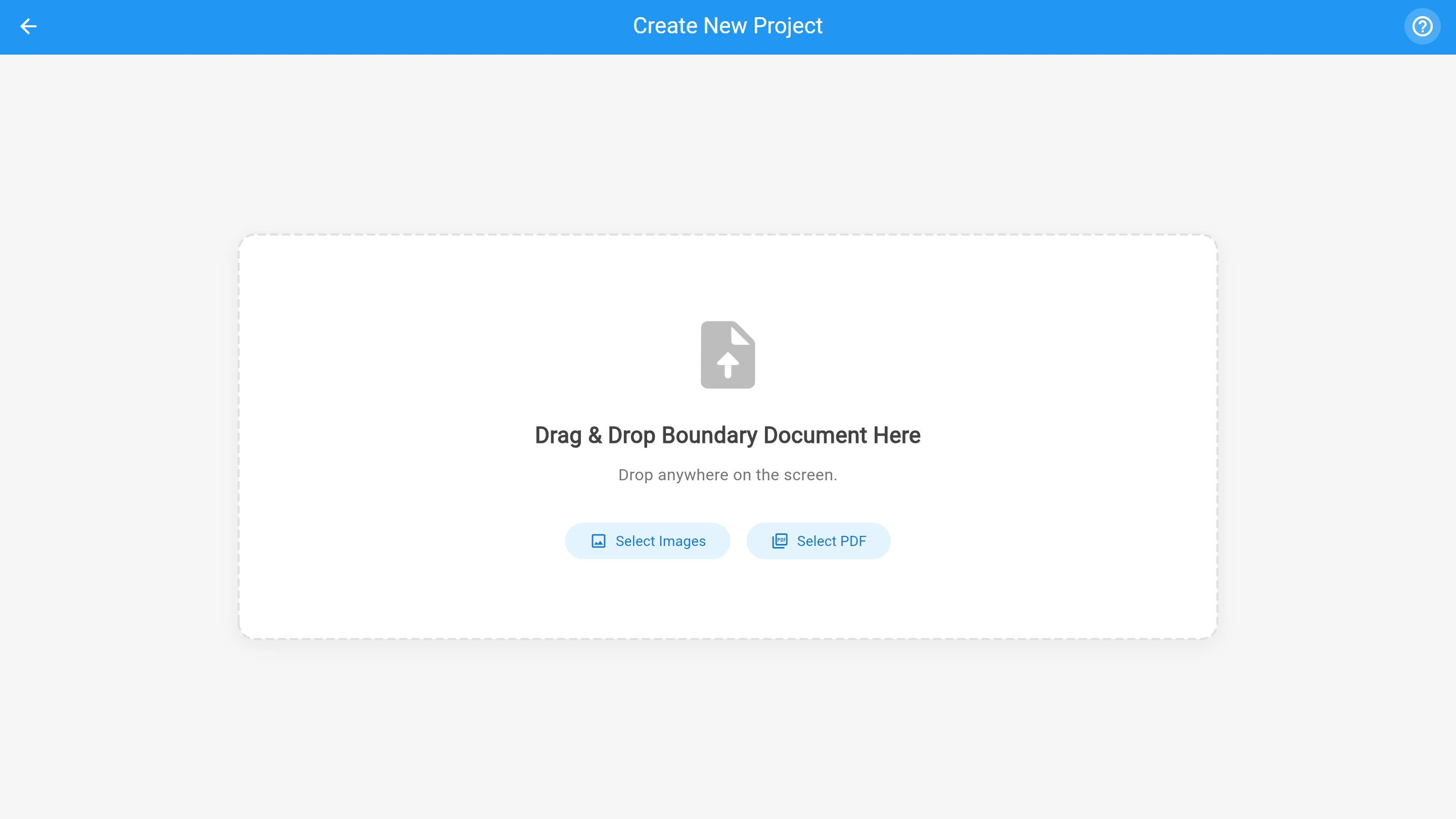
Instant Document Capture
Upload an existing PDF or use your camera to snap a photo of the deed. Our on-device preprocessing optimizes the image for character recognition.
- Supports PDF, JPG, and PNG
- Auto-cropping & correction
02
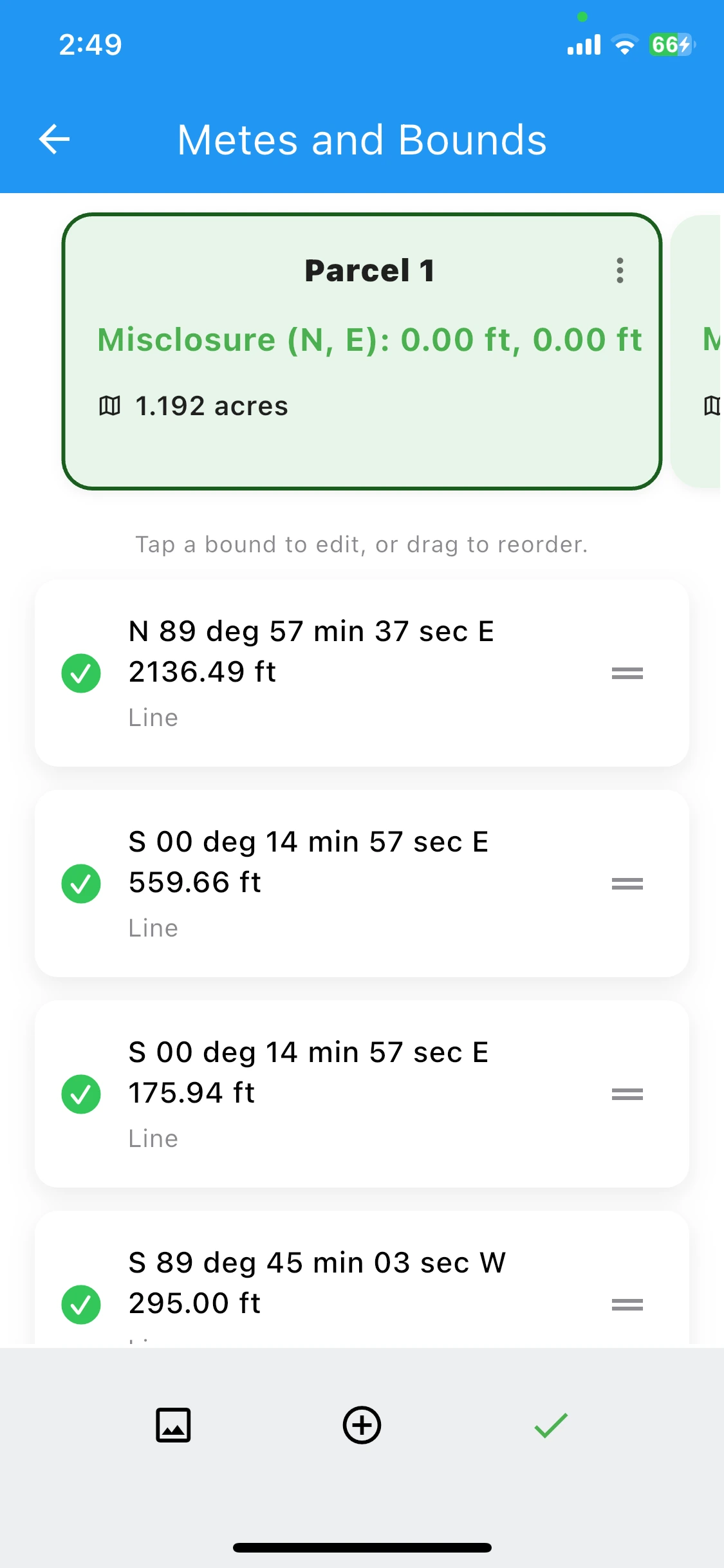
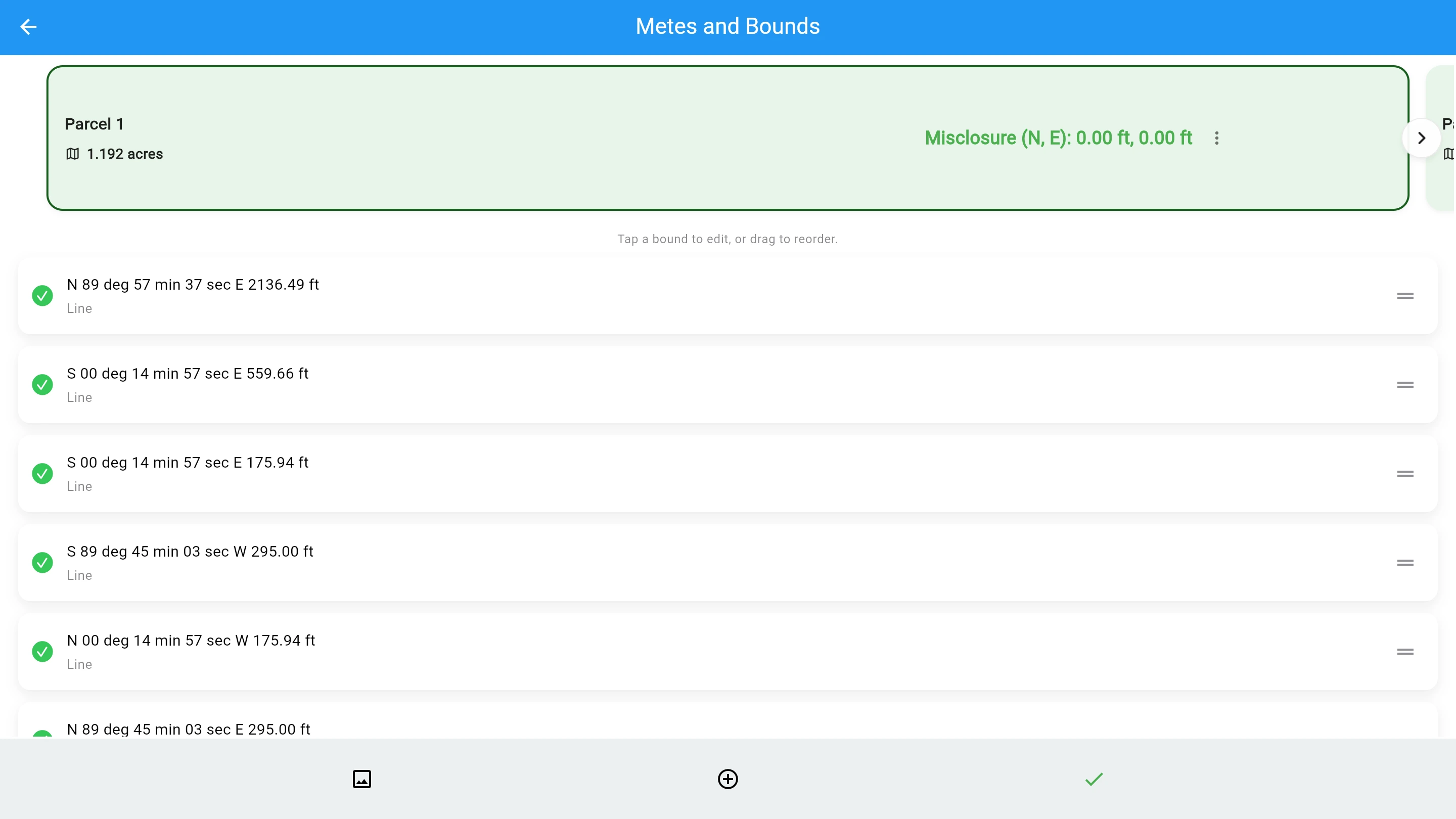
Automated Extraction
Our engine deciphers complex legal descriptions, isolating geometric calls with high precision and calculating misclosure error instantly.
- Highlights misclosure discrepancies.
- Powerful editing capabilities for historical deed documents that were poorly scanned into record.
03
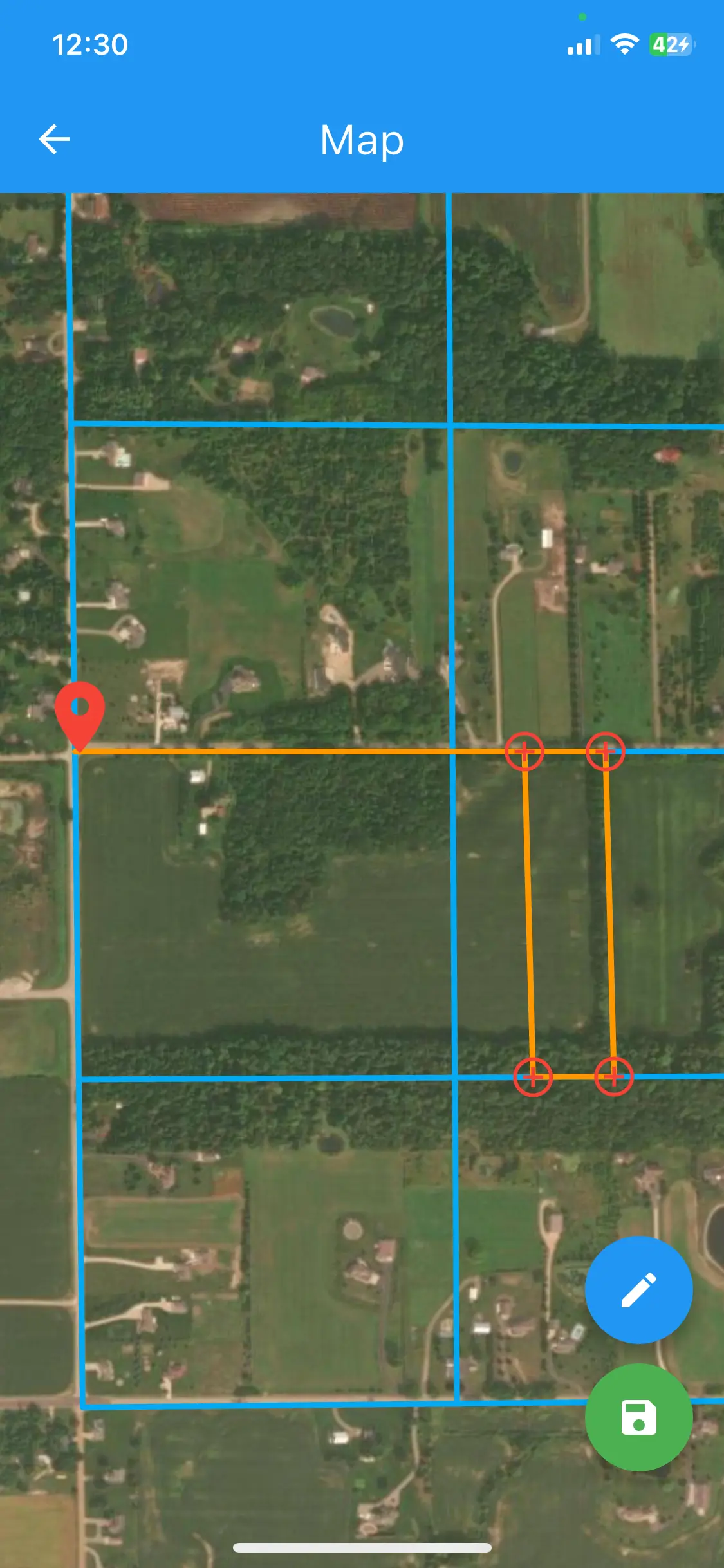
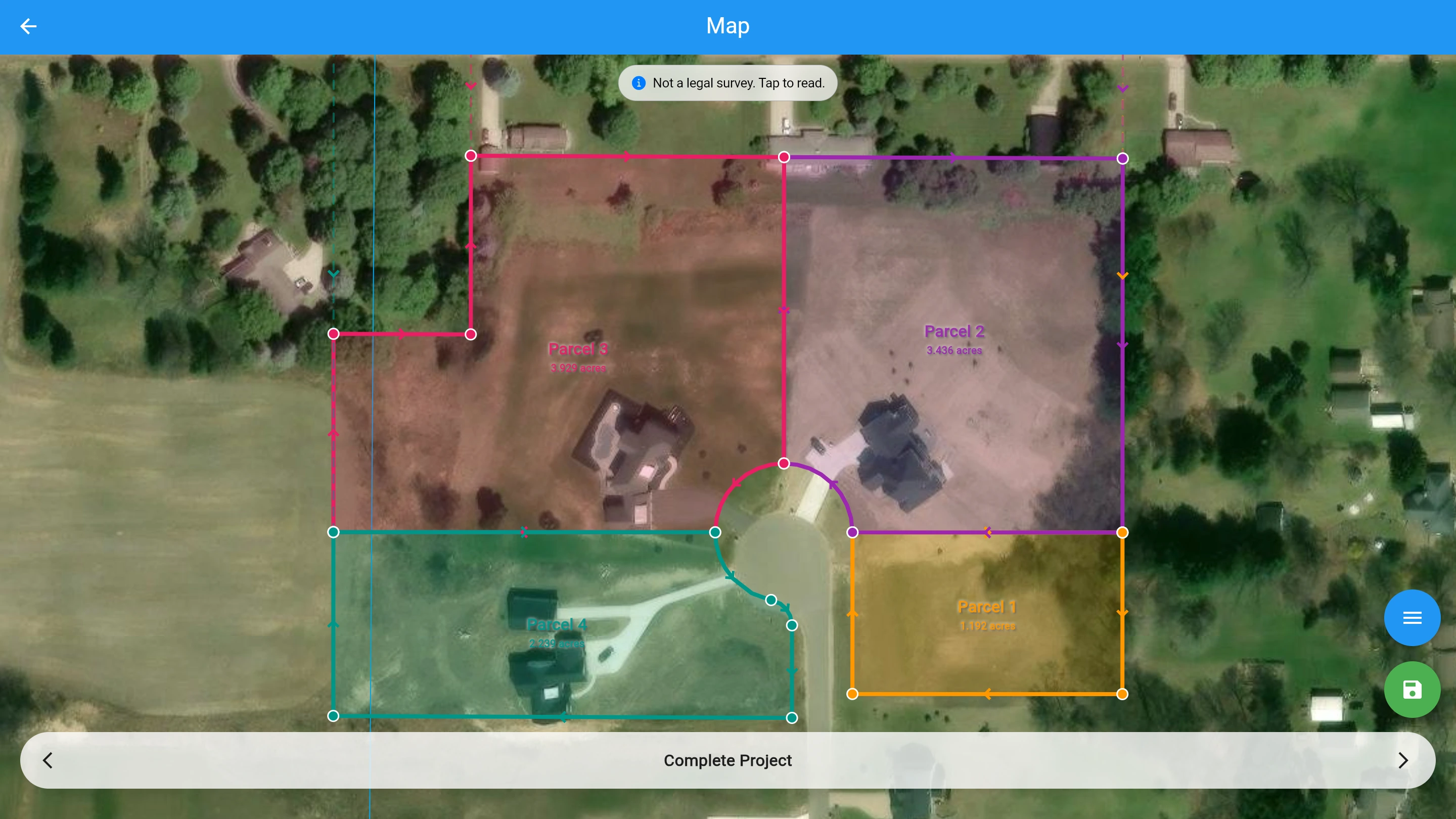
Visualize on Map
EZBounds automatically extracts distances, directions, and curves, as well as Section, Township, Range. The extracted data is then overlaid on aerial imagery for additional map context.
- Auto-computes POB via Section, Township, and Range data
- Verifies physical geography alignment
04
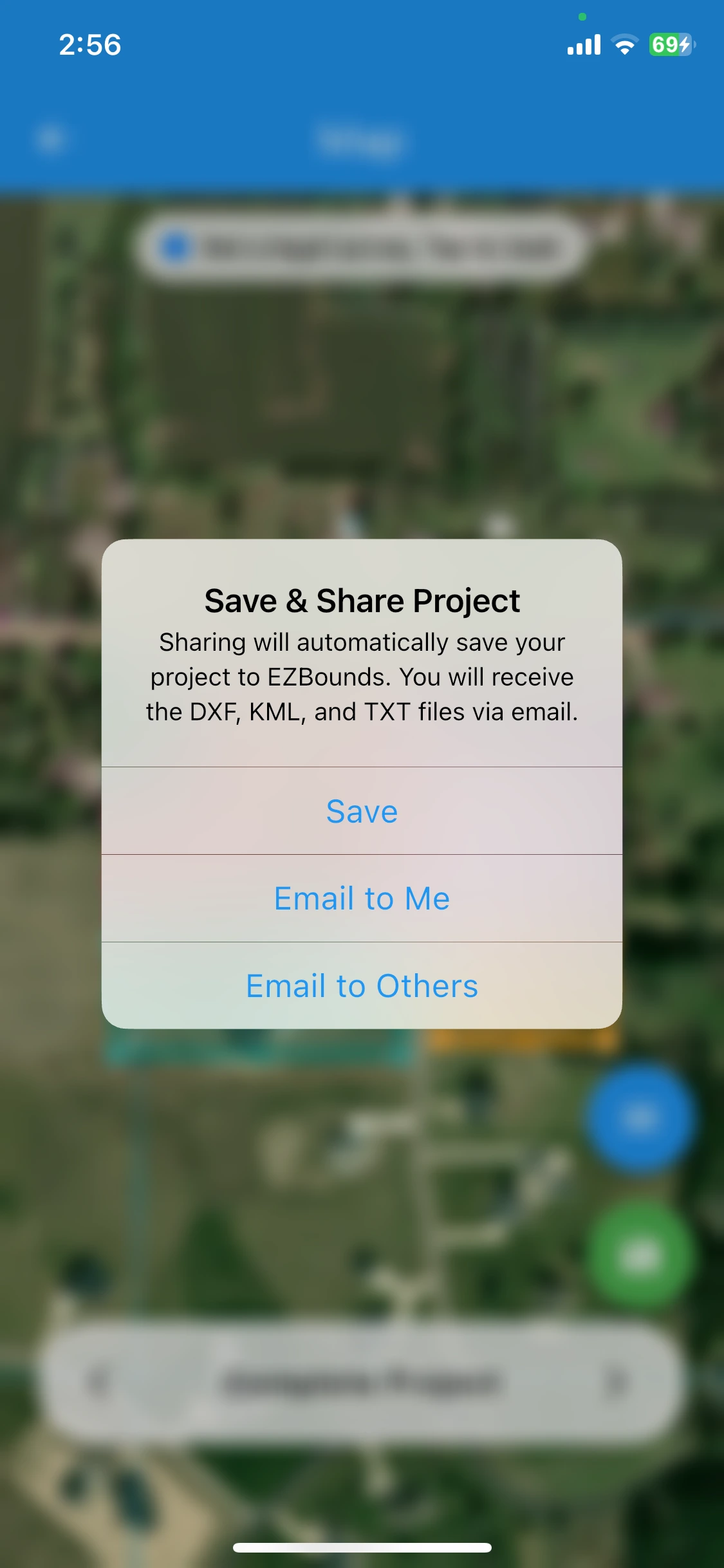
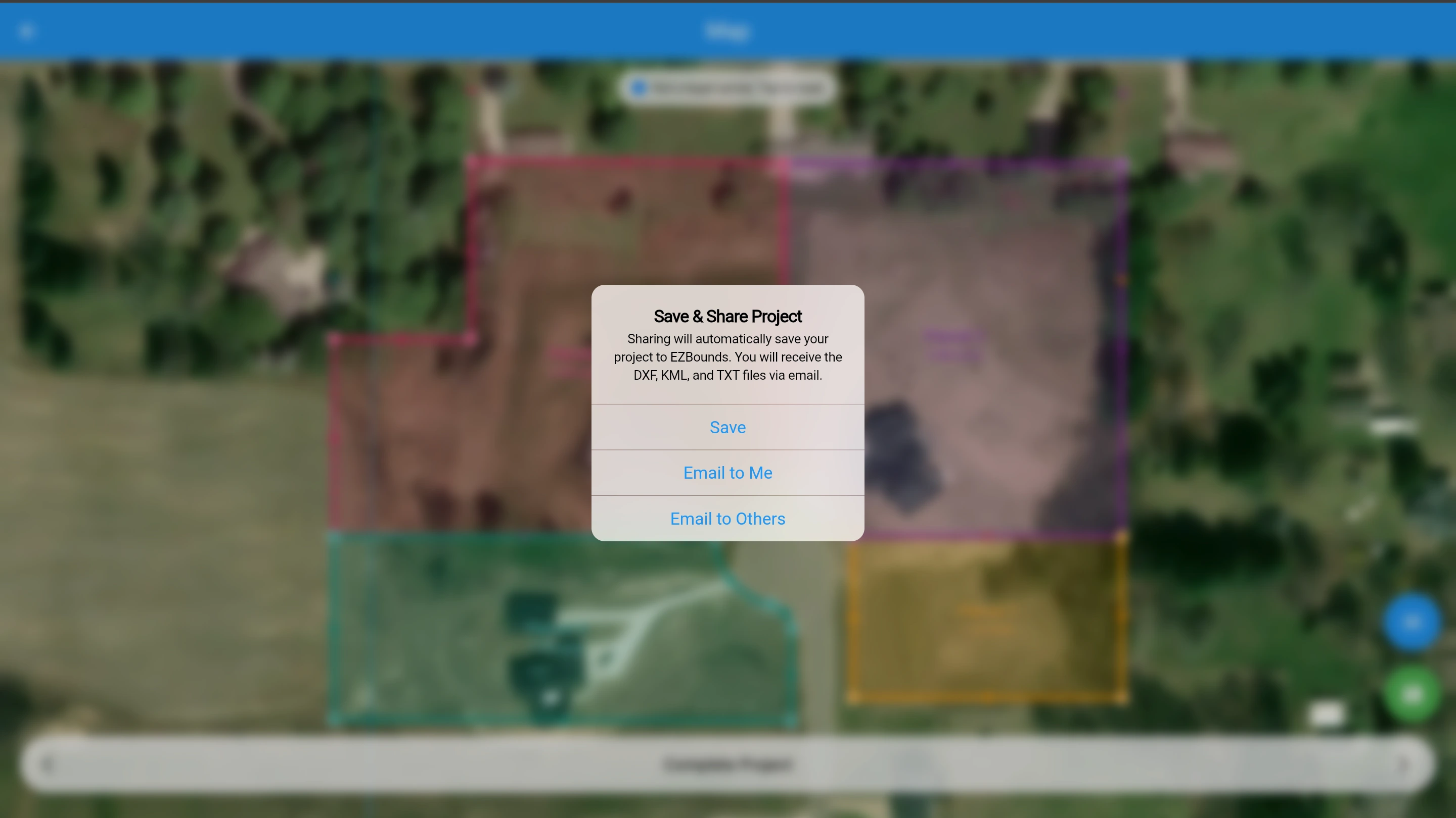
Export CAD-Ready DXF
Export standardized DXF files directly to your storage. It imports seamlessly into AutoCAD, Carlson, and other drafting software.
- Native AutoCAD, Carlson support